Kml Map Data
Advertisement
AnyChart Flash Map Converter v.1.0.4
Convert ESRI ShapeFiles (.SHP) geolocation data into AnyMap format to be used with AnyChart. AnyChart Flash Map Converter allows making use of a wide choice of maps with AnyChart, a GIS system that recognizes map data in AnyMap format only.
Advertisement

Map Madness v.1.0.0.0
Enjoy custom Driving Routes, Map Searches, and Waypoints all on one map. Simultaneously view multiple routes, map searches, and saved waypoints. Smoothly page between your search results and toggle the visibility of your loaded map data.
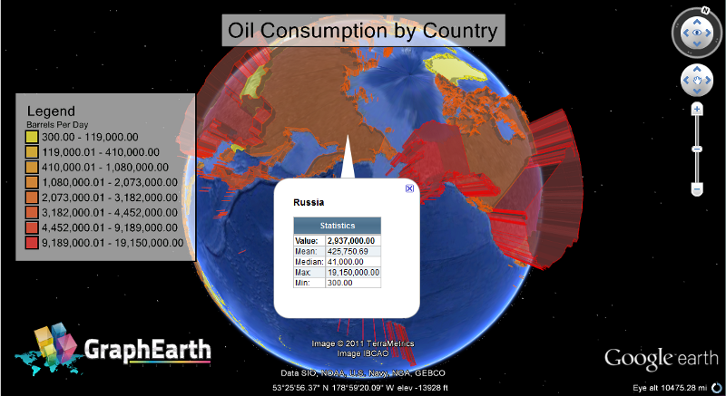
GenGIS v.1 8
GenGIS is a bioinformatics application that allows users to combine digital map data with information about biological sequences collected from the environment.
RadioLink v.6.041
Radio Planning Software by Orbit Design using USGS DEM, SDTS DEM, SRTM3, SRTM30, GTOPO30 and Ordnance Survey Landform Profile, Panorama and Panorama Plus map data. Up to 25 radio links can be analised in one project.
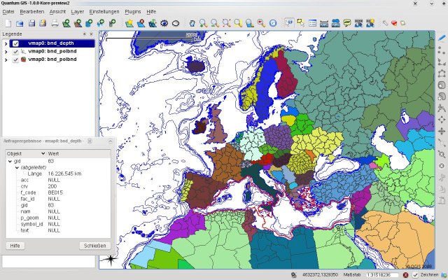
Quantum GIS form Mac v.1.8.0
QGIS supports vector, raster, and database formats and lets you browse and create map data on your computer.
USAPhotoMaps v.0.2.7.8
USAPhotoMaps downloads aerial photo and topo map data from Microsoft's free TerraServer Web site, saves it on your hard drive, and creates seamless maps from it.
KWare DigiMap v.1.21.0328
DigiMap is a graphical program for simple digitization of map data to create ASCI files of ordered x,y,z triplets. It is a quick and easy alternative to expensive digitizing tablets and software.
KML2KML v.3.0.12
KML2KML is an application including tools for reorganization and optimization of your kml/kmz data.

SharePoint Excel Import v.2.6.507.2
SharePoint Excel Import tool can import an Excel spreadsheet to any existing SharePoint list! SharePoint Excel Import allows business users to import an Excel spreadsheet (.xlsx, .xls, or .csv) into SharePoint list and manually map data fields.
TatukGIS Viewer v.2.9.0.5307
TatukGIS Viewer opens most GIS/CAD vector, raster image, and grid file types, including the aerial imagery and vector street map data provided by the leading vendors, most ArcView, ArcExplorer, and MapInfo projects,